A hydrogeological survey is a crucial step in identifying and evaluating the potential for groundwater extraction via boreholes. This process involves the assessment of geological and hydrological conditions to determine the availability, quantity, and quality of groundwater. The main objectives of a hydrogeological survey for boreholes are to locate suitable drilling sites, estimate groundwater yields, and ensure sustainable water extraction.
Key Steps in a Hydrogeological Survey
- Preliminary Study
- Literature Review: Collect existing data on geology, hydrology, and previous borehole records in the area.
- Topographic Maps and Satellite Imagery: Analyze maps and images to identify potential groundwater recharge areas, drainage patterns, and land use.
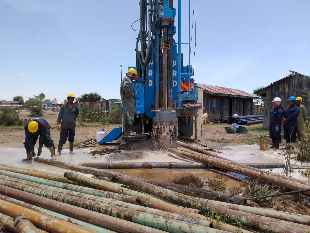
- Field Investigation
- Geological Mapping: Study the surface geology to understand rock types, structures, and formations that influence groundwater occurrence.
- Geophysical Survey: Utilize methods like electrical resistivity, seismic refraction, and ground-penetrating radar to identify subsurface features and aquifer extents.
- Hydrological Measurements: Measure surface water flow, springs, and existing wells to assess current groundwater levels and flow directions.
- Hydrogeological Analysis
- Aquifer Testing: Conduct pumping tests on existing wells to determine aquifer properties such as transmissivity and storativity.
- Water Quality Testing: Analyze groundwater samples for chemical and biological contaminants to ensure the suitability of water for intended use.
- Data Interpretation and Reporting
- Hydrogeological Modeling: Use collected data to develop models predicting groundwater behavior under various extraction scenarios.
- Site Selection: Identify optimal locations for drilling based on survey results, ensuring sustainable yield and minimal environmental impact.
- Report Preparation: Compile findings into a comprehensive report, including recommendations for borehole construction, expected yields, and management practices.
Important Considerations
- Environmental Impact: Assess the potential environmental effects of borehole drilling and groundwater extraction, including impacts on surface water bodies and ecosystems.
- Regulatory Compliance: Ensure that the survey and subsequent drilling activities comply with local regulations and water resource management policies.
- Community Involvement: Engage with local communities to understand their water needs and address any concerns regarding groundwater use and conservation.
Conclusion
A hydrogeological survey is an essential part of the process for establishing boreholes for groundwater extraction. By systematically analyzing geological and hydrological data, the survey helps ensure the sustainable and efficient use of groundwater resources. Properly conducted surveys lead to informed decision-making, minimizing the risks of over-extraction and environmental degradation.