A hydrogeological survey is essential for identifying suitable locations for drilling boreholes to access groundwater. This survey assesses geological and hydrological conditions to ensure that water extraction is sustainable and safe.
Key Steps in a Hydrogeological Survey
- Preliminary Study
- Literature Review: Gather existing geological and hydrological information, including maps, reports, and previous studies. This helps in understanding the area’s groundwater potential and identifying gaps in current knowledge.
- Topographic Maps and Satellite Imagery: Analyze the landscape to identify features like hills, valleys, rivers, and lakes. These features influence groundwater recharge and flow patterns. Satellite images can also reveal land use changes that affect groundwater.
- Field Investigation
- Geological Mapping: Conduct a detailed survey of the surface geology. Identify rock types, faults, fractures, and other geological structures that influence groundwater movement. This helps in understanding the subsurface conditions.
- Geophysical Survey: Use techniques such as:
- Electrical Resistivity: Measures the resistance of the ground to electrical current, helping to identify water-bearing formations.
- Seismic Refraction: Uses sound waves to map subsurface layers, indicating potential aquifers.
- Ground-Penetrating Radar: Uses radar pulses to create images of the subsurface, identifying features like voids and water tables.
- Hydrological Measurements: Measure streamflow, spring discharge, and water levels in existing wells. This data helps in understanding the current state of the groundwater system and its recharge rates.
- Hydrogeological Analysis
- Aquifer Testing: Perform pumping tests on existing wells to determine:
- Transmissivity: The ability of the aquifer to transmit water.
- Storativity: The amount of water the aquifer can store. These tests involve pumping water from a well and measuring the water level drawdown and recovery.
- Water Quality Testing: Collect groundwater samples and analyze them for:
- Chemical Constituents: Such as pH, hardness, nitrates, and heavy metals.
- Biological Contaminants: Such as bacteria and viruses. This ensures that the water is safe for its intended use, whether for drinking, irrigation, or industrial purposes.
- Aquifer Testing: Perform pumping tests on existing wells to determine:
- Data Interpretation and Reporting
- Hydrogeological Modeling: Use the collected data to create models that simulate groundwater flow and predict the impacts of different extraction scenarios. These models help in understanding how the aquifer will respond to pumping over time.
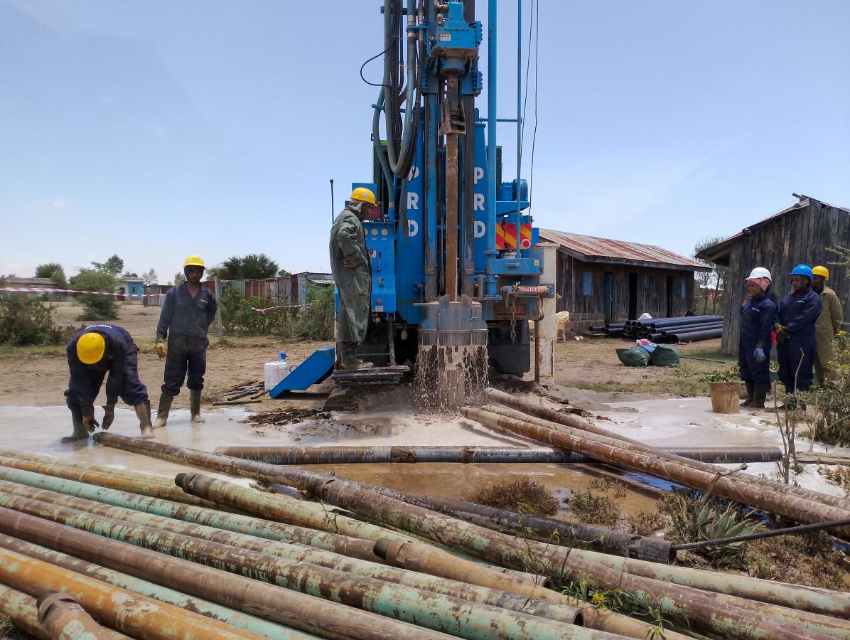
- Site Selection: Based on the survey results, select the most suitable locations for drilling. Consider factors like groundwater yield, ease of access, and proximity to the intended water use.
- Report Preparation: Compile all findings into a detailed report. This report should include:
- Survey Methods: A description of the methods used.
- Results: Detailed findings of the geological and hydrological conditions.
- Recommendations: Suggestions for borehole drilling, expected yields, water quality, and management practices to ensure sustainability.
Important Considerations
- Environmental Impact: Evaluate how borehole drilling and water extraction might affect the surrounding environment, including surface water bodies and ecosystems. Implement measures to mitigate negative impacts.
- Regulatory Compliance: Ensure that all activities comply with local laws and regulations related to water use and environmental protection. Obtain necessary permits and adhere to guidelines.
- Community Involvement: Engage with local communities to understand their water needs and concerns. This helps in gaining support for the project and ensuring that the groundwater resource is used responsibly.
Conclusion
Conducting a thorough hydrogeological survey is crucial for the successful and sustainable development of boreholes. By understanding the geological and hydrological conditions, the survey ensures that groundwater extraction is efficient, safe, and environmentally responsible. Proper planning and execution of these surveys lead to informed decision-making and long-term water resource management.