Hydrogeological Survey for Boreholes
A hydrogeological survey is essential for identifying suitable locations for drilling boreholes to access groundwater. This survey assesses geological and hydrological conditions to ensure that water extraction is sustainable and safe. Key Steps in a Hydrogeological Survey Preliminary Study Literature Review:…

Hydrogeological Survey for Boreholes
A hydrogeological survey is a crucial step in identifying and evaluating the potential for groundwater extraction via boreholes. This process involves the assessment of geological and hydrological conditions to determine the availability, quantity, and quality of groundwater. The main objectives of…

A Comprehensive Guide to Clean Water
When it comes to ensuring the purity of our drinking water, reverse osmosis stands out as one of the most effective methods. But what exactly is reverse osmosis, and how does it work? Let’s dive deep into this fascinating process and…

The Environmental Impacts of Solar Energy:
Solar energy is a clean and renewable energy source that has gained significant attention in recent years. As the world seeks sustainable alternatives to fossil fuels, solar power has emerged as a promising solution. While solar energy offers numerous environmental benefits,…
Harnessing Solar Energy for Water Desalination
Water scarcity is a pressing global issue, affecting millions of people worldwide. As traditional freshwater sources dwindle, alternative methods of water desalination have gained prominence. Among these methods, solar energy-powered desalination systems have emerged as an efficient and sustainable solution. This…

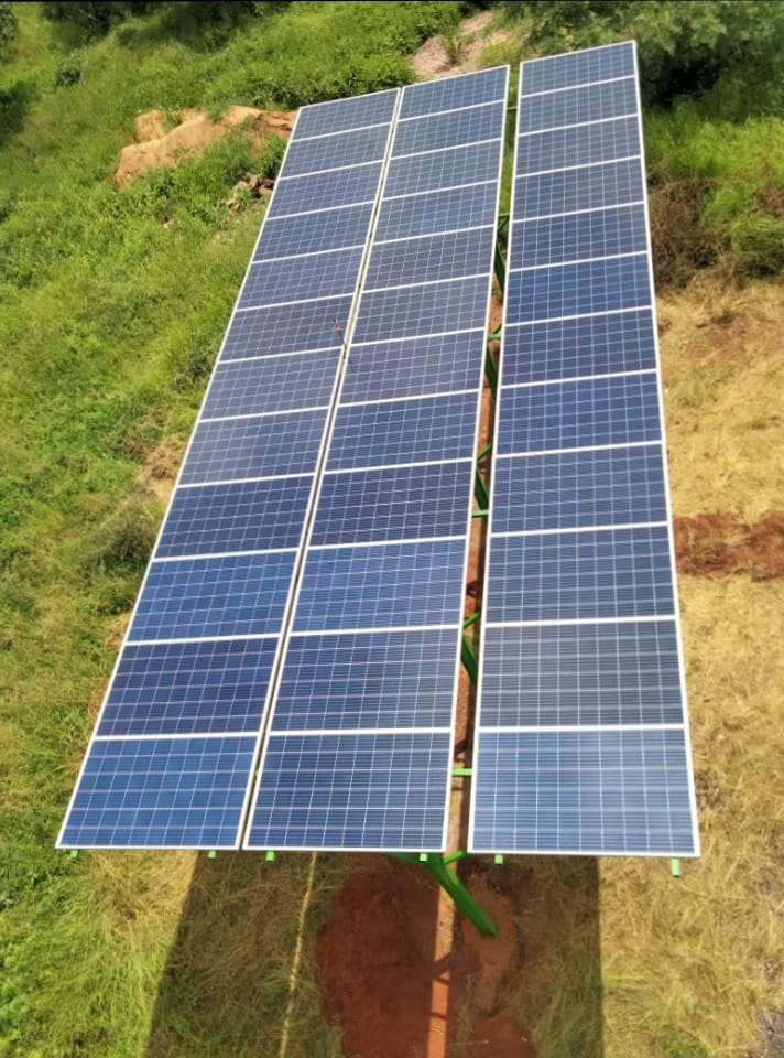
Gallery
The following images represent part of our larger gallery and some of the work done. They include hydrogeological surveys, borehole drillings, pump and solar installations, and mineral feasibility field works among others. Enjoy watching and viewing.

What is GeoAI?
GeoAI refers to the integration of artificial intelligence (AI) and machine learning (ML) with geographic information systems (GIS) and spatial data analysis. This combination enhances the ability to analyze, interpret, and visualize geographic data for various applications. Here are the key…
Introduction to hydrogeological survey
Have you ever wondered how we determine the availability and quality of groundwater? This is where hydrogeological surveys come into play. These surveys are essential for understanding groundwater resources, assessing water quality, and ensuring sustainable water management practices. Definition and Importance…

Discover Remote Sensing: Applications and Future Insights
Remote sensing is like having a pair of super-powered eyes in the sky. It involves gathering information about the Earth’s surface without making physical contact. This is done using satellites, drones, or aircraft equipped with sensors that capture data from a…

FAQ in mining.
The following are frequently asked questions in the mining and mineral sector. What is the purpose of a mineral feasibility study? A mineral feasibility study aims to assess the viability of a mining project by evaluating geological, technical, environmental, and economic…